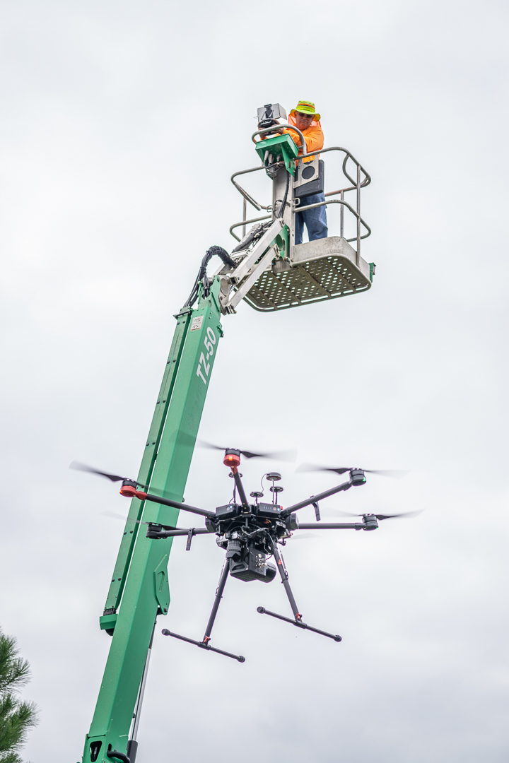
Remote Mapping Group was founded in 2018 by a group of professional land surveyors with years of industry experience. We are committed to establishing ourselves as a leader in the implementation of remote sensing technology in the surveying field. Our services include aerial photogrammetry, aerial LiDAR and mobile LiDAR mapping. We provide remote sensing mapping services using LiDAR and imagery sensors on a variety of platforms including UAVs/drones, vehicles, boats, ATVs, golf carts, and backpacks.
Remote Mapping Group is licensed in Georgia, Florida, Alabama, Tennessee and North Carolina. We are also ASPRS and AUVSI-TOP certified, meaning we are qualified, peer-approved UAS mapping professionals. We demonstrate a deep understanding and mastery of mapping principles and will work with you to get the project results you need.